


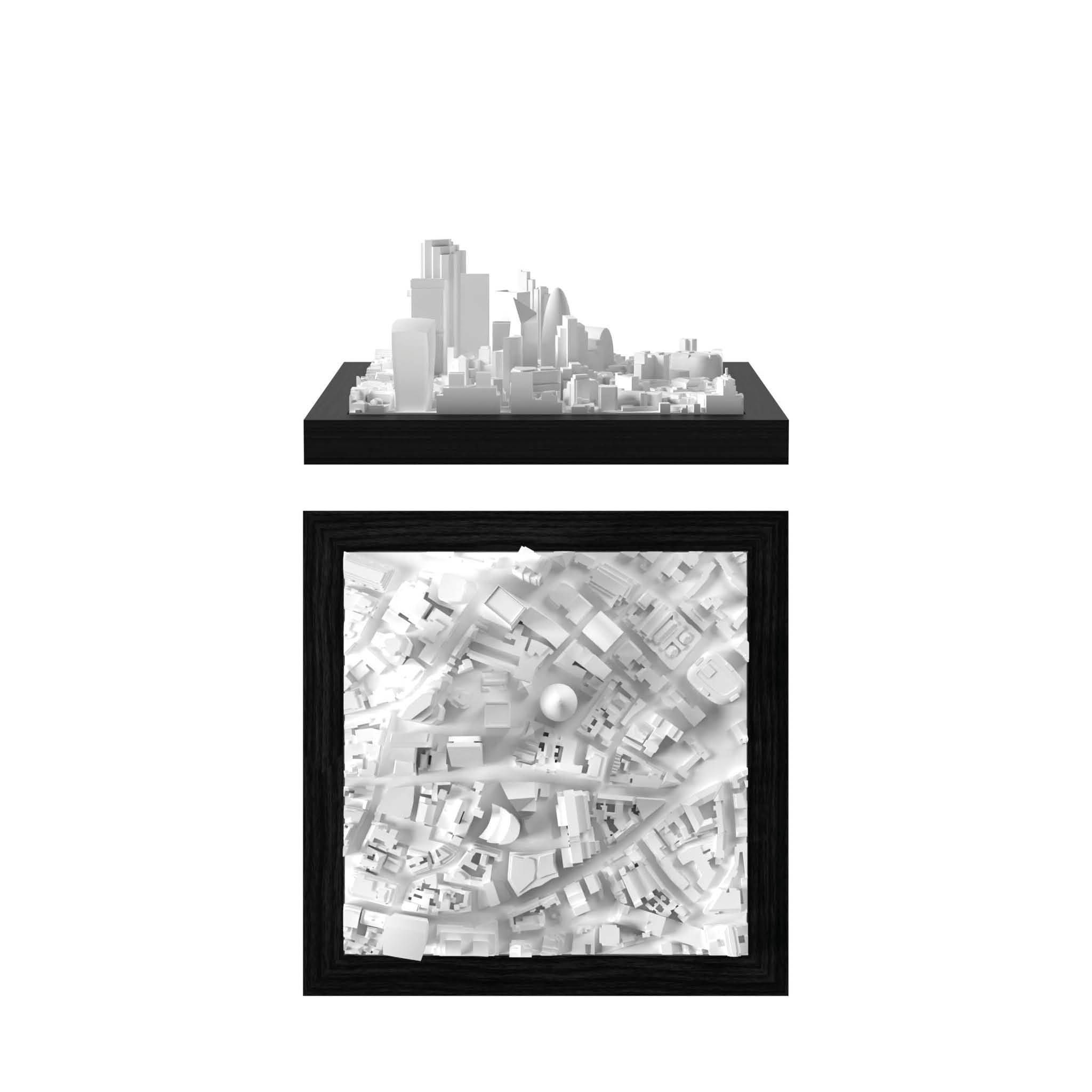
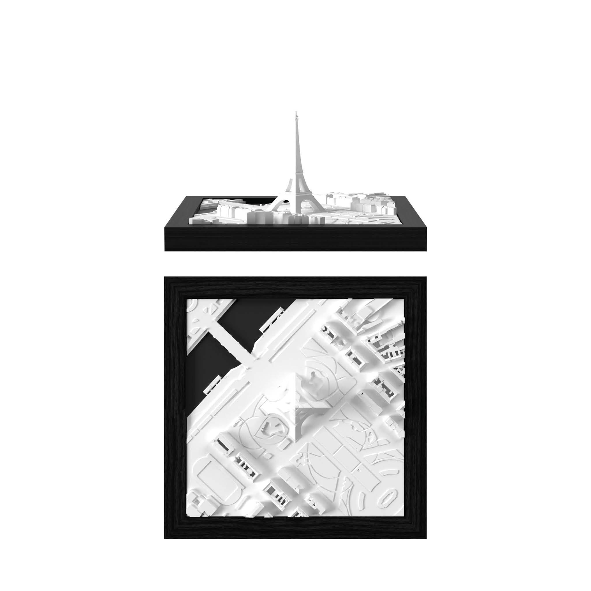
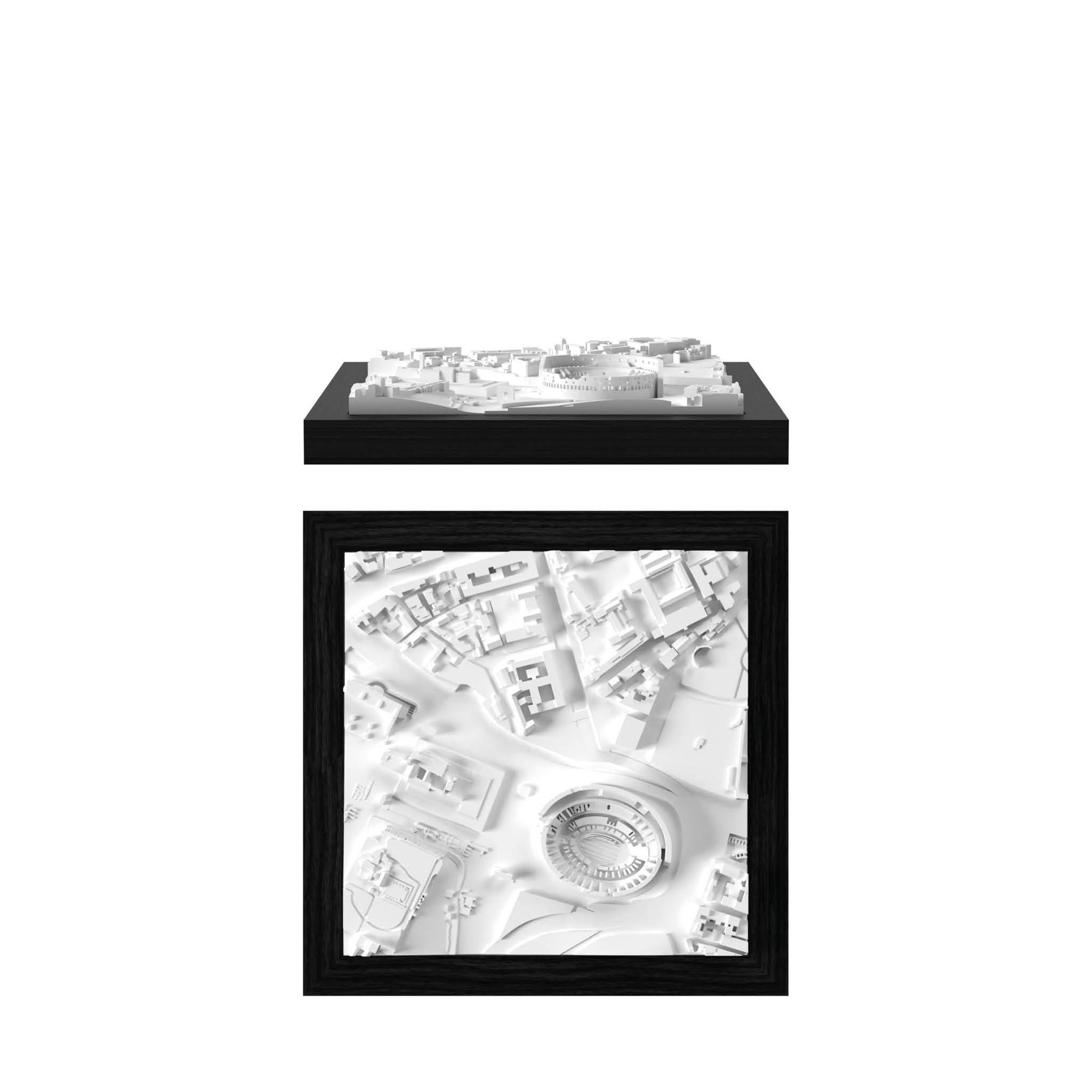
CitySculpt
Our unique process of creating 3D Data

ONLY AT CITYFRAMES
Developed through years of expertise by our in-house 3D Data Specialists.

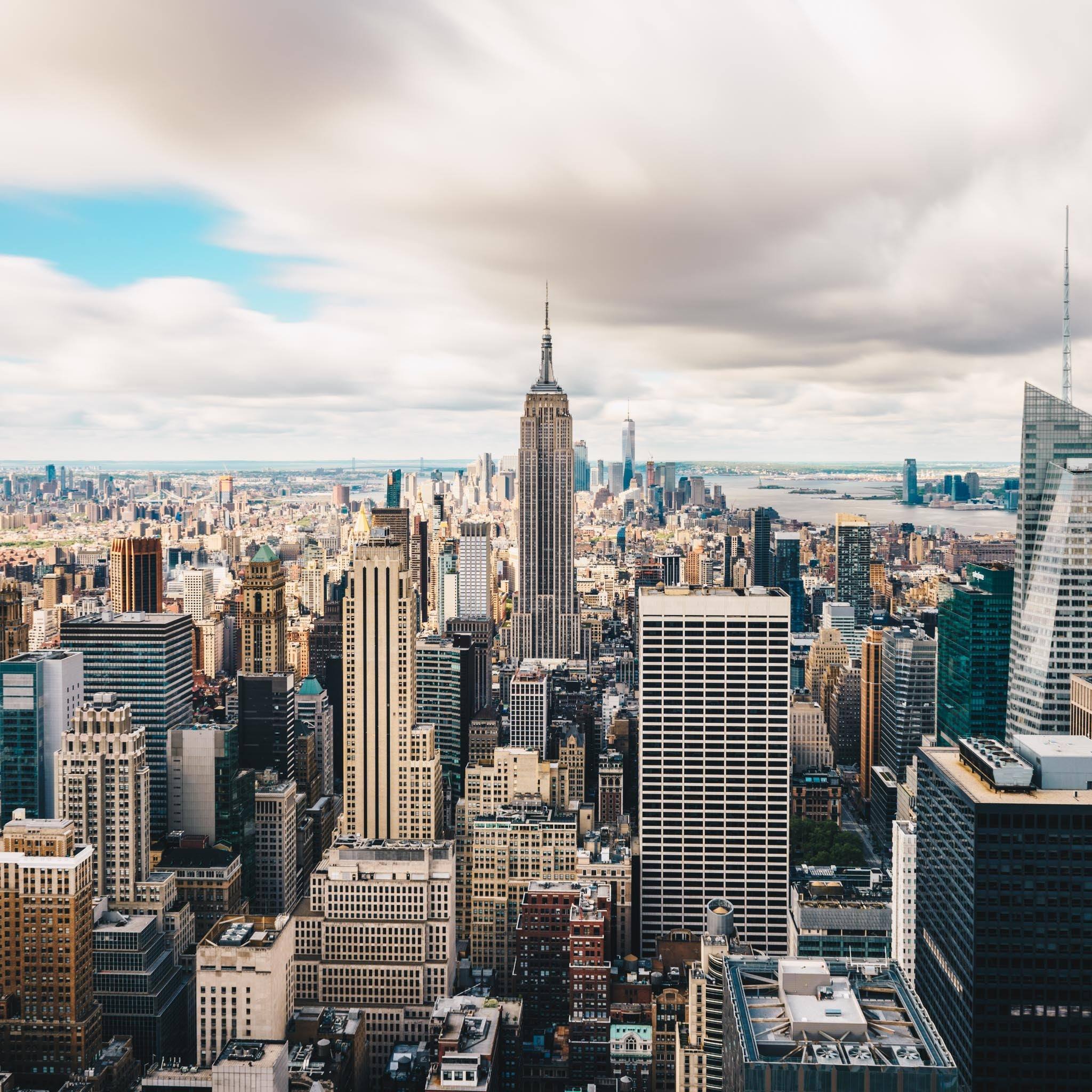
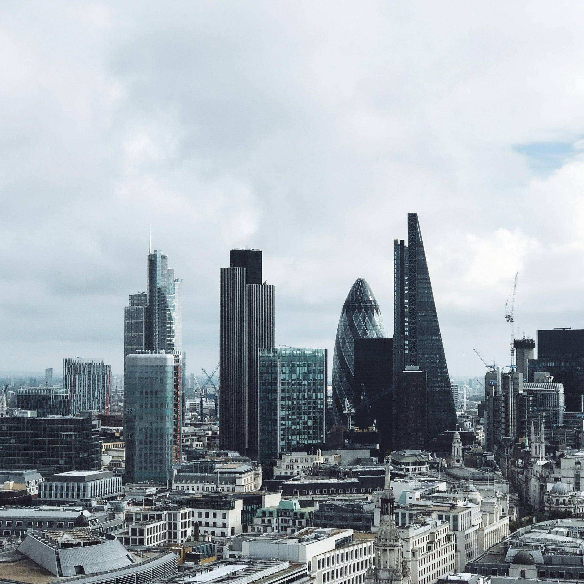
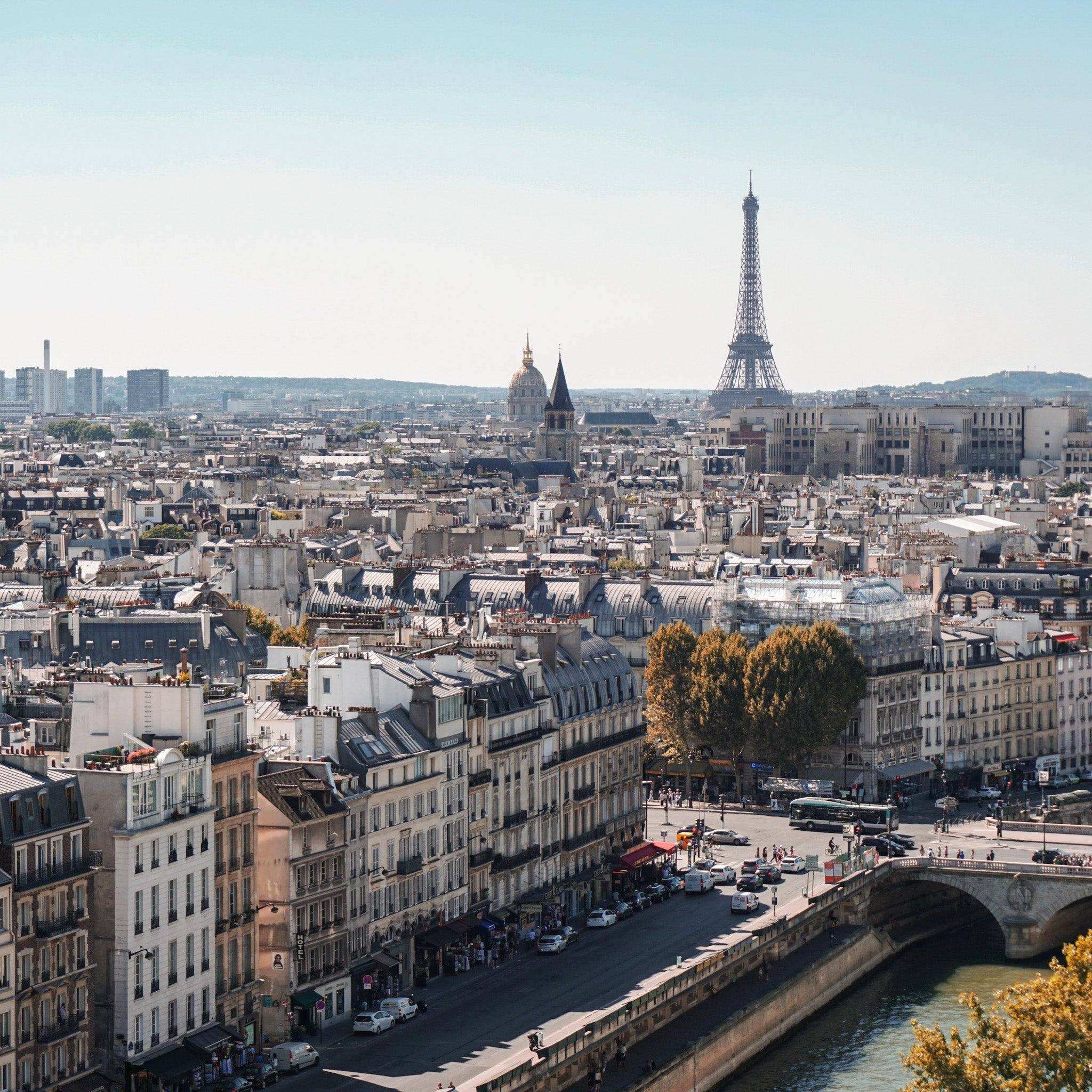
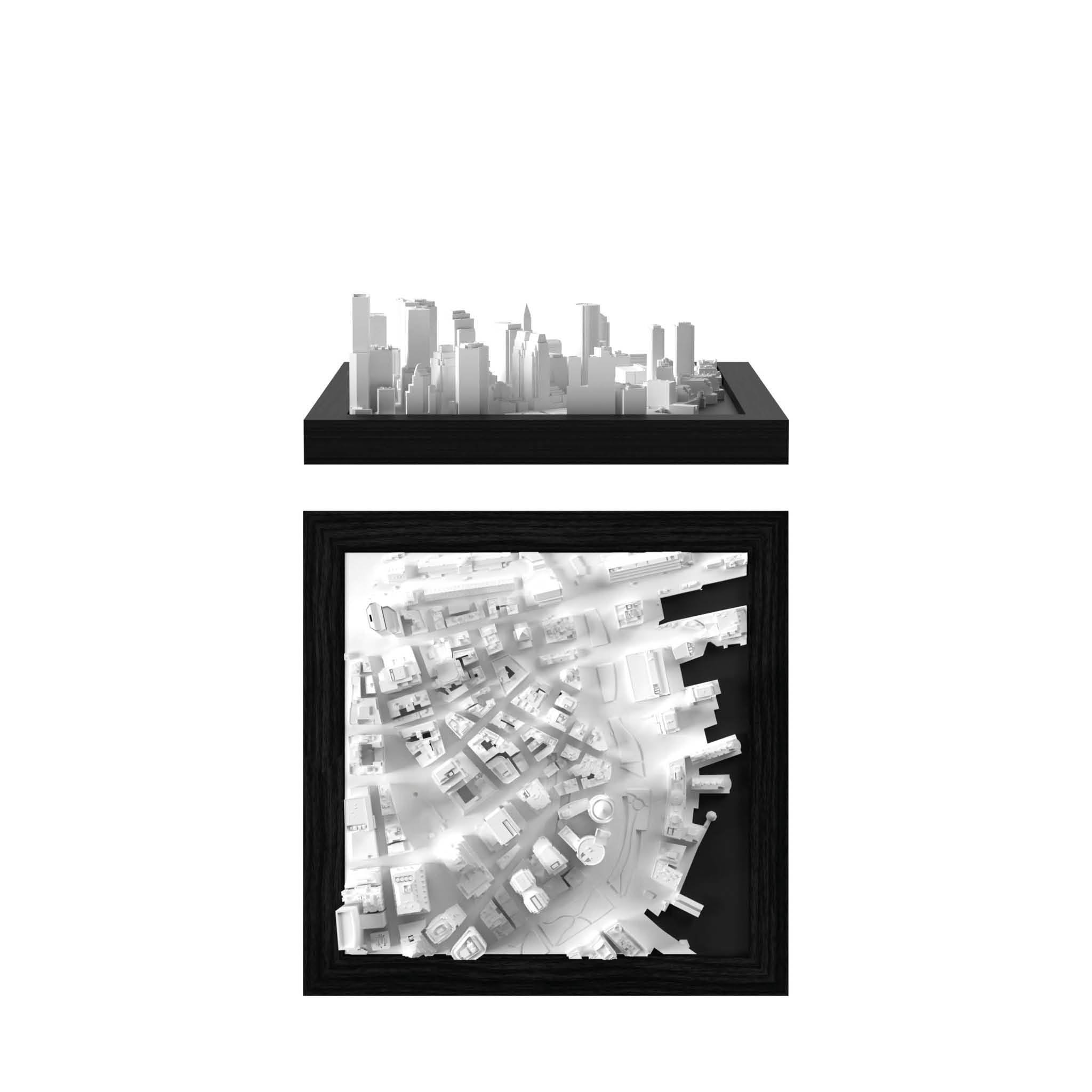
INCREDIBLE LEVEL OF DETAIL
Even more details ready to be explored in our 3D cities.

HAND-MADE
Manual processed satellite data that create a one-of-a-kind miniature effect.

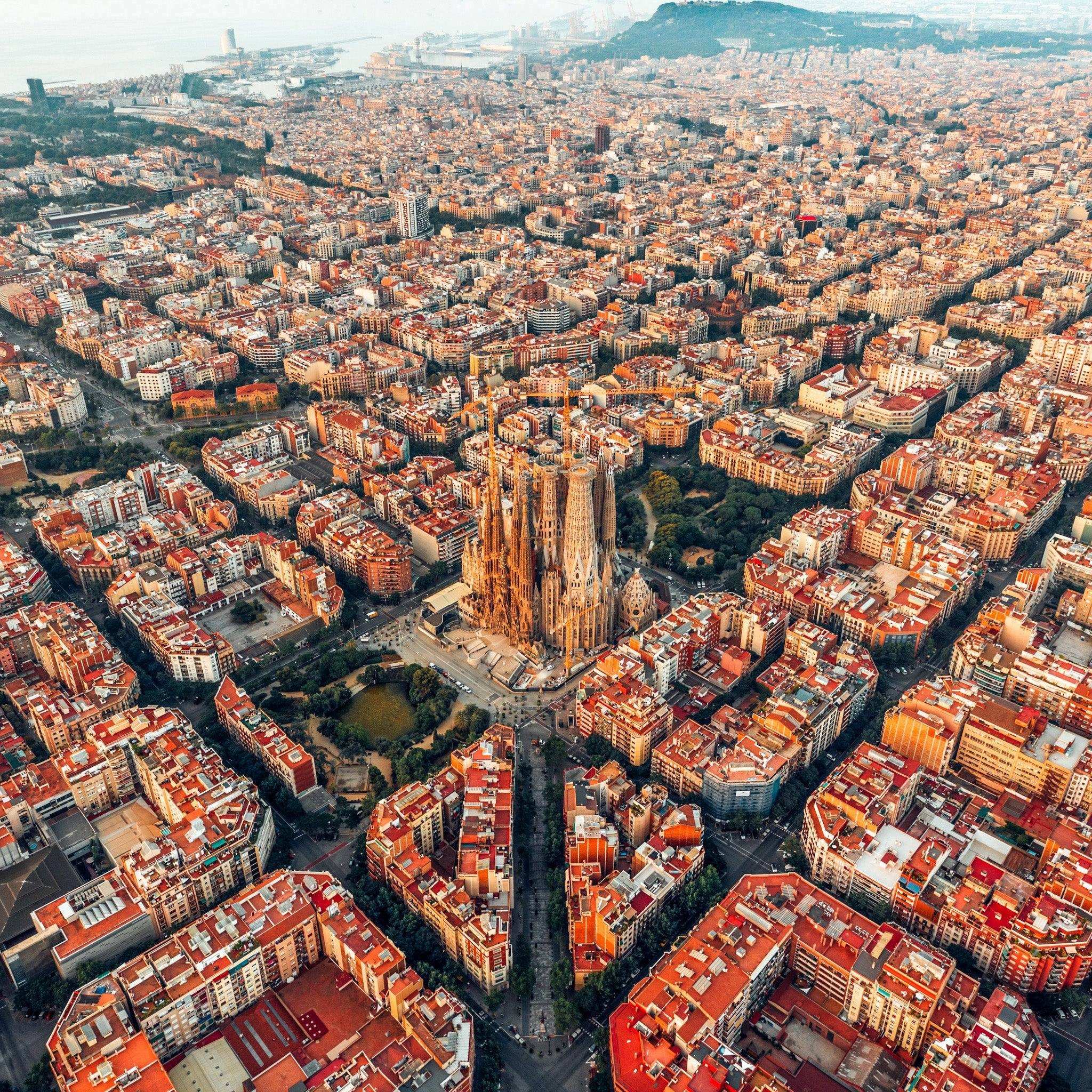
WORLDWIDE USAGE
Our technology ensures consistent accuracy to capture cities across the world.

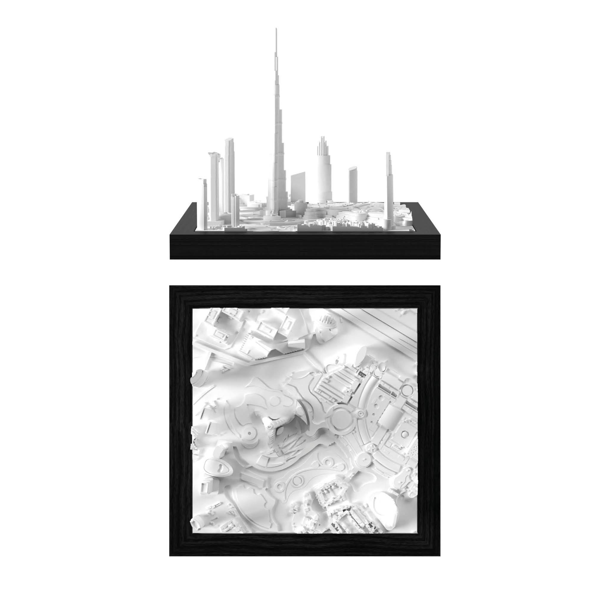
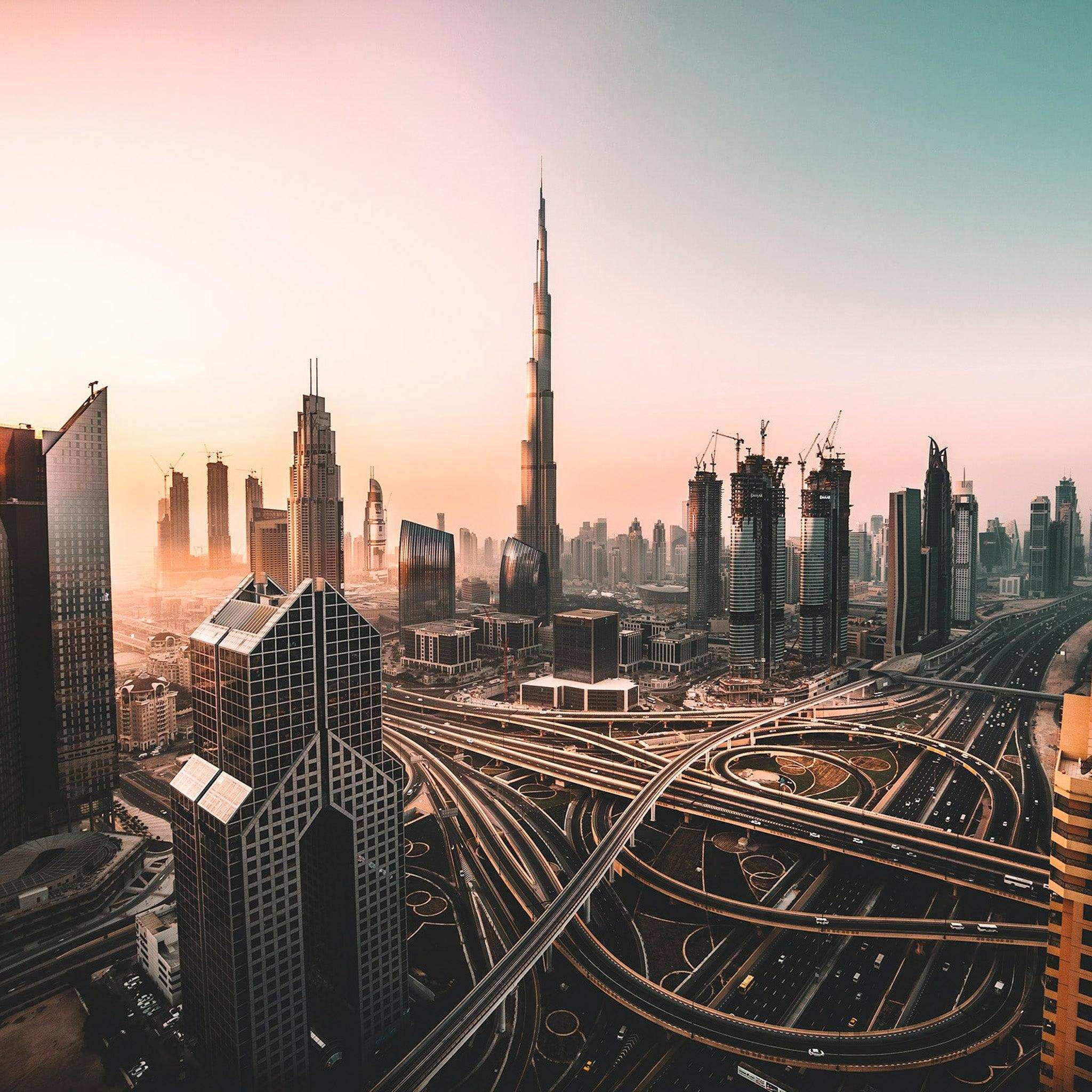
Dubai Before

Dubai After CitySculpt
Aquiring High Quality 3D Data
Why not Google Maps?
Digital 3D data is the foundation of every model we produce, from the miniCUBE to the WALL. We often get asked why we can't use Google Maps?
There are several reasons for this, but in short, it's the wrong type of data. Google Maps utilizes scans based on satellite imagery, which are then textured - this means images are overlaid with images to show colors. The imagery actually conceals that the underlying data is very bumpy and uneven, making it unsuitable for 3D printing or any kind of production.
In several cities, Google data is unavailable. Take Dubai, for instance, which is represented solely by a flat image in Google Earth.
It's important to note that even if the data were usable, its use would still be definitively illegal.
That's when we came up with CITYSCLUPT!
The solution: Merging technology with manual skill
CitySculpt Process
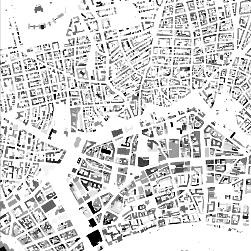
Urban Layout Plan
The process starts with 2D urban blueprints. By utilizing fundamental open-data layout plans we outline the model areas and determine necessary data sources for generating the 3D data.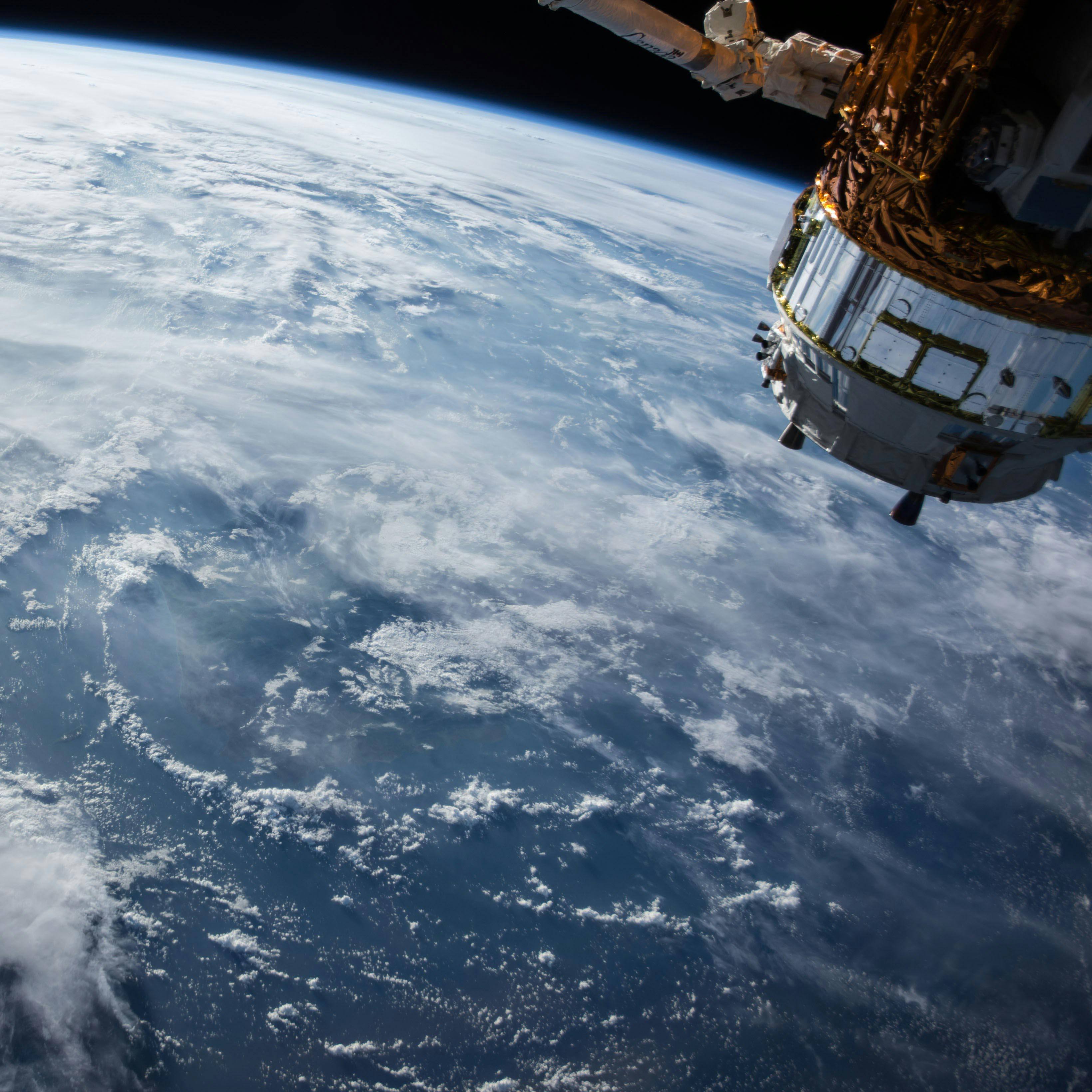
Looking down on the ISS
The satellites that capture the data for our models fly twice as high as the International Space Station, yet still produce crystal-clear data. By having access to the latest innovations from Airbus, NASA, and ESA, we are able to purchase very high-quality datasets that serve as the perfect base for our 3D city models. We use combinations of multiple datasets, depending on the density, topography and location of the city.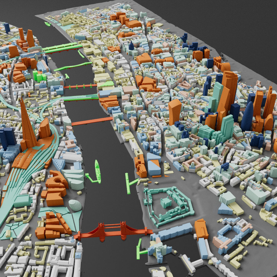
Time for manual skill
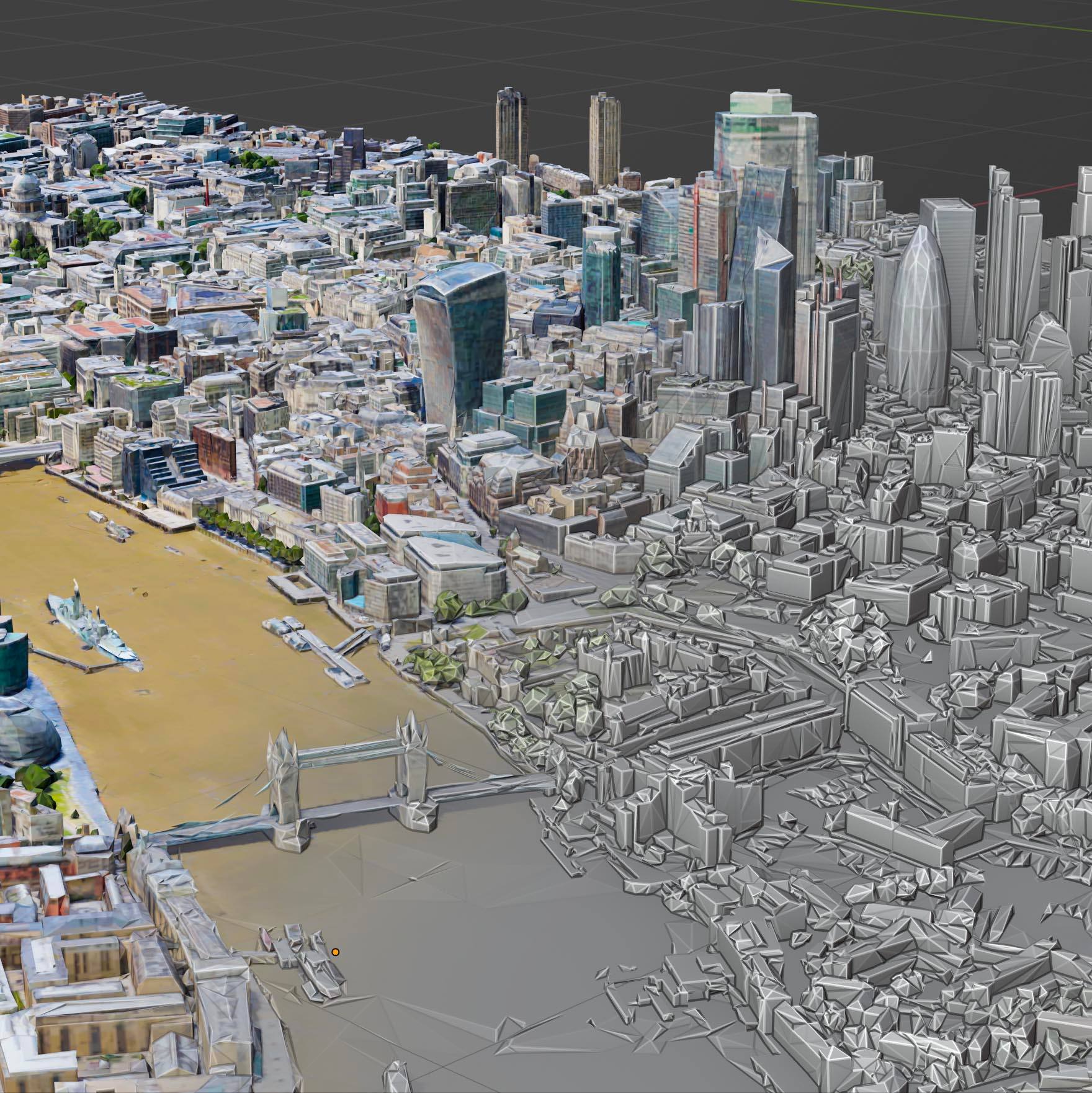
Cities are diverse and complex, which is why we now hand over the datasets to our skilled 3D data artists. The generated buildings are manually cross-referenced against sources such as Google Maps or building plans. We reconstruct missing structures, enhance details, and track upcoming developments. Additionally, we add parks, bridges, landmarks, railways, bodies of water, docks, elevated roads, highways, pathways, and statues to our models.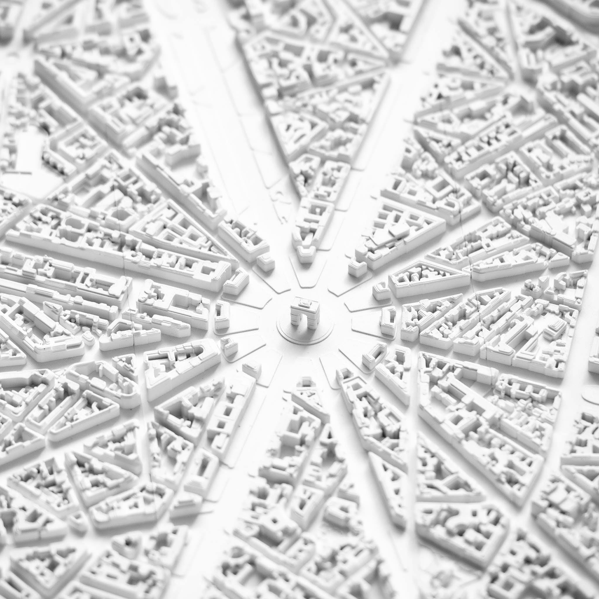
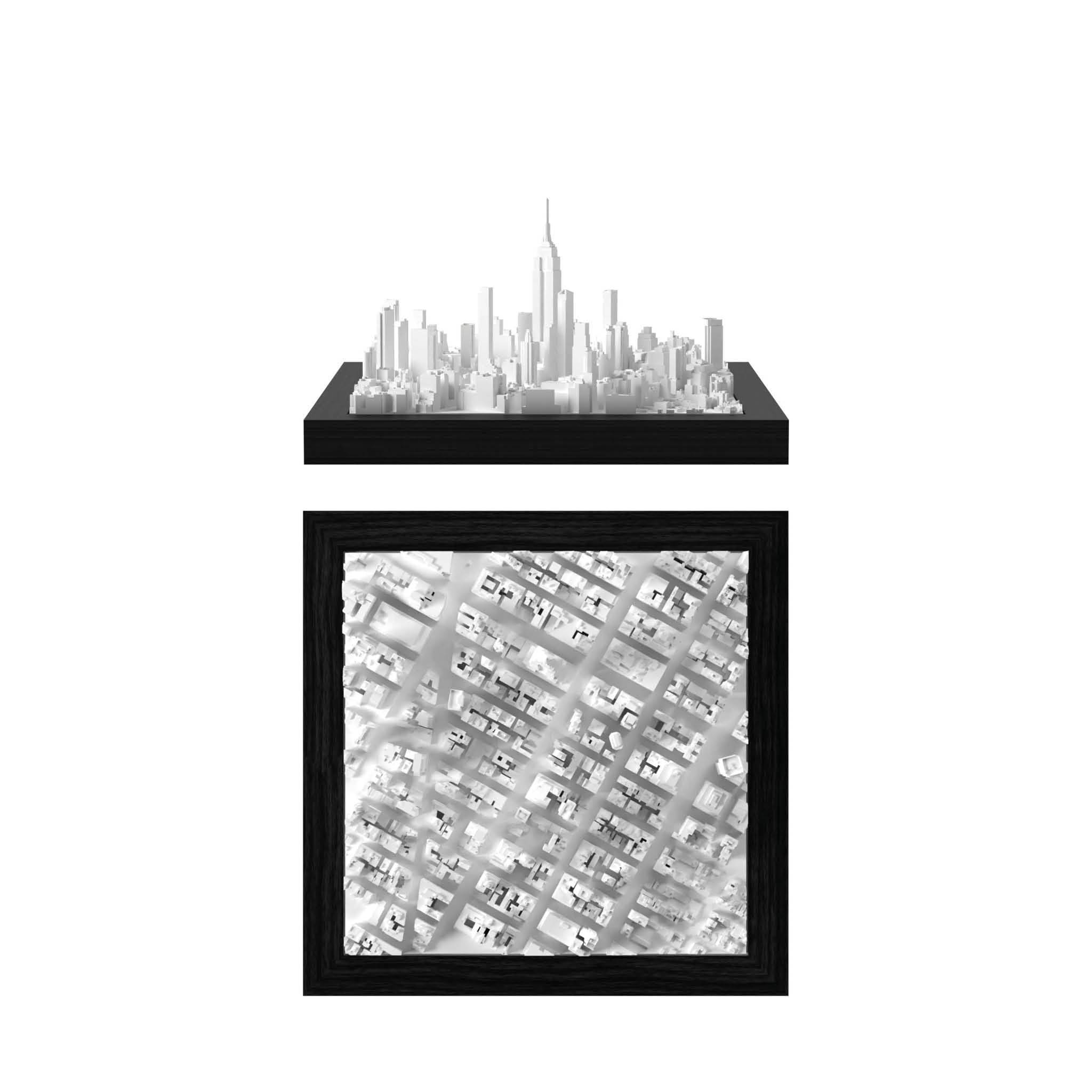
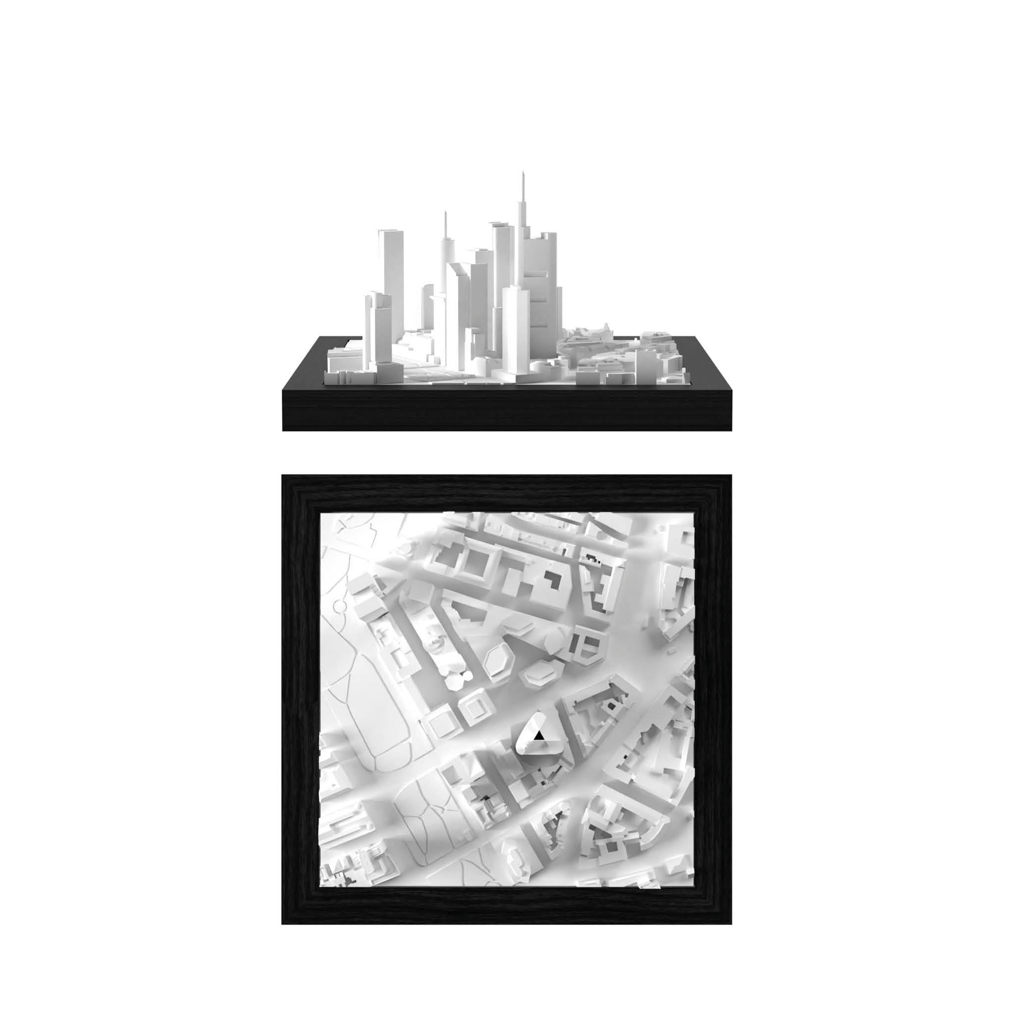
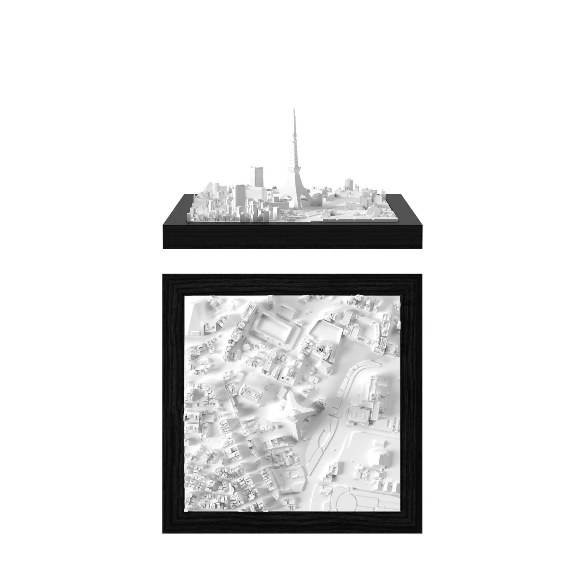
The unique miniature look
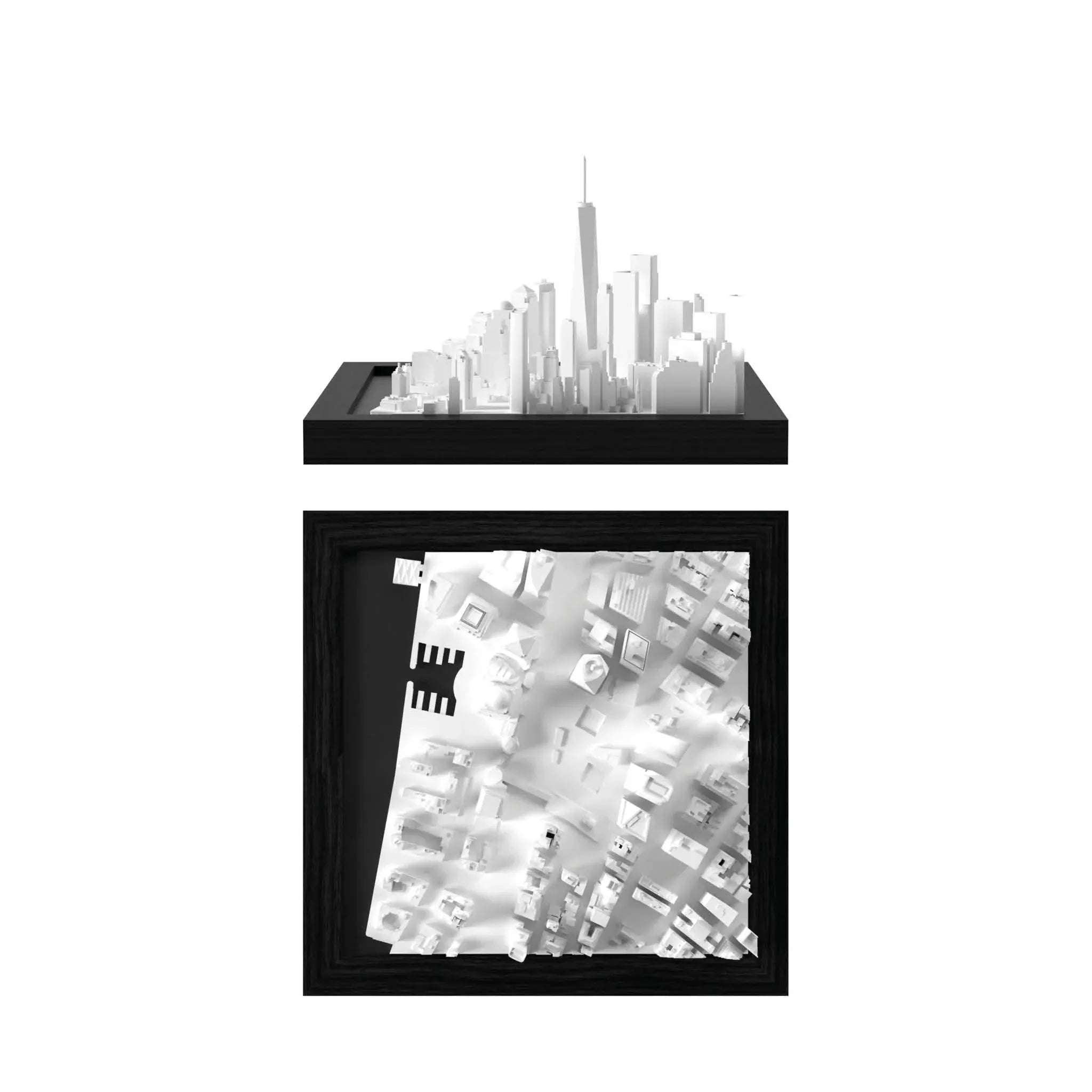
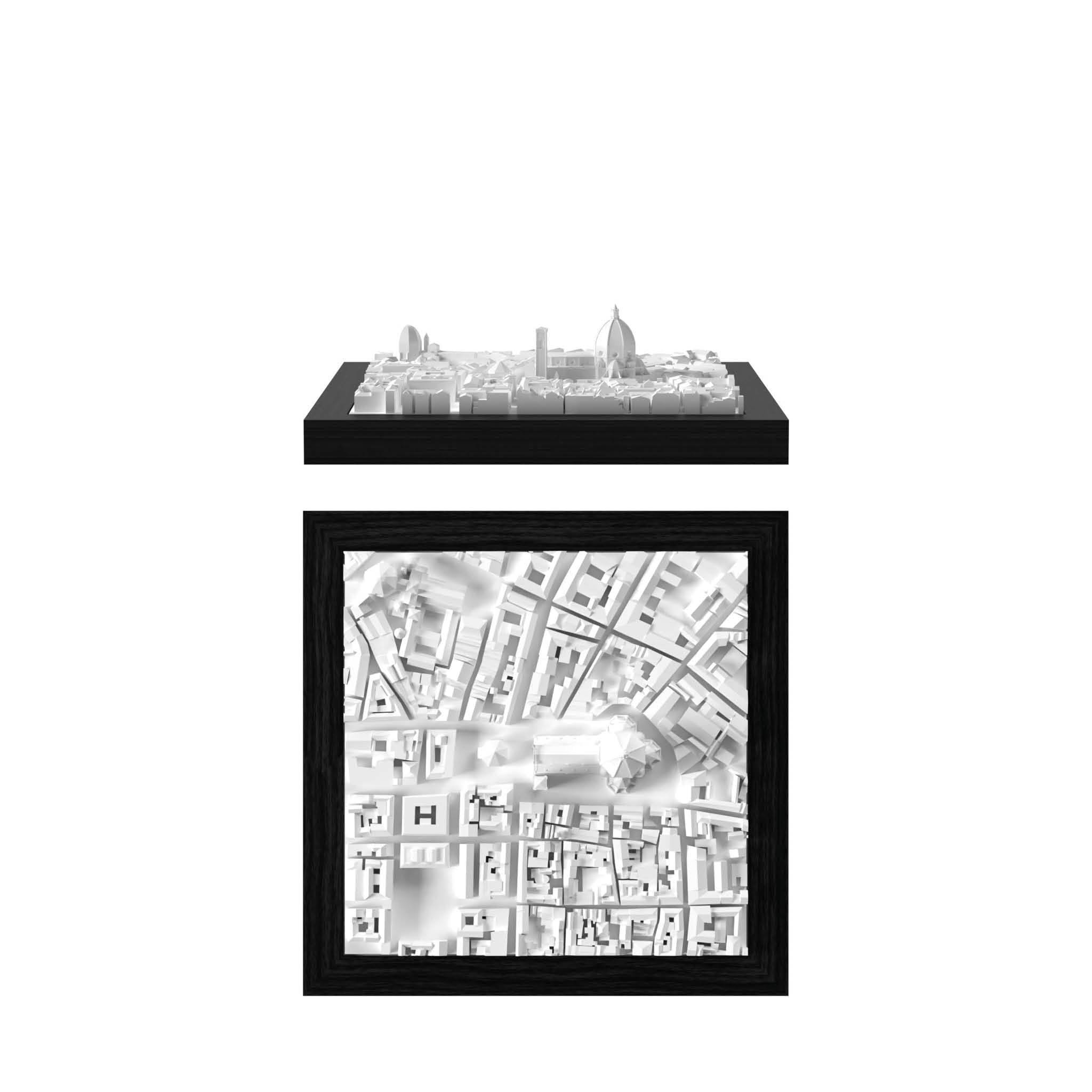
In the final step, we prepare and optimize the cities for 3D Printing. This is when the miniature look of our cities truly comes to life. By the time our models are ready for production, they are not just representations of urban landscapes, but vibrant miniatures that reflect the unique atmosphere and character of each city.Below you can find some before / after examples of the 3D data creation with CitySculpt.
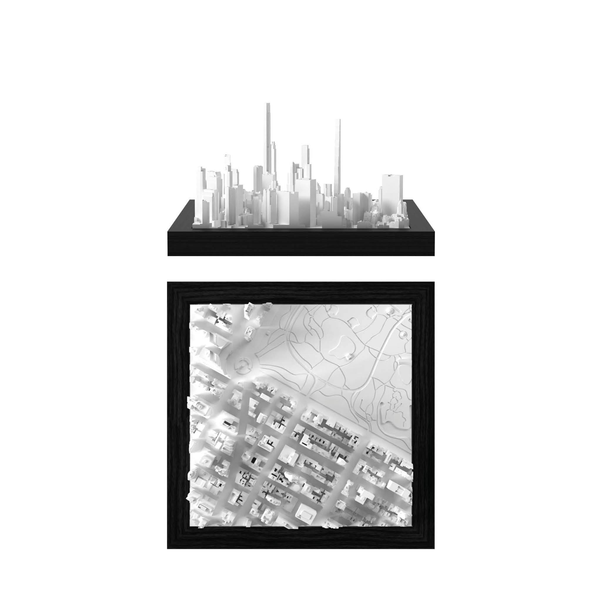
Taipei

Before

CitySculpt
Top Picks for Travelers, Collectors & Design Lovers
Bestseller


Join the CITYFRAMES Community

Learn more


* Welcome gift offer is valid for first-time customers, subject to minium order value. While supplies last. T&C apply.